
Hikes & Trails
Dancing Place
Jumplinks:
About this trail
If you’re looking for a nice, coastal stroll on a largely paved path, look no further than Dancing Place Trail! It’s as close to a boardwalk as you can get on an island with this much terrain, and an easy way to orient yourself if you’ve just arrived on Saba.
Due to the grassy nature of the landscape, you’ll enjoy sweeping panoramas of the ocean and, on clear days, views of St. Eustatius, St. Kitts, and Nevis. And whether you’re starting or finishing this walk near the Trail Shop, keep the day relaxed by combining it with a visit to the nearby Harry L. Johnson museum, and a quick bite to eat in town.
Header image by Kai Wulf.
Difficulty:
Easy
Distance:
0.40 km/0.24 miles
20 minutes one-way
Hiking resources:
On-island? Stop by Saba’s Trail Shop (run by the Saba Conservation Foundation) for detailed trail maps, info on guided hikes, and more. Plus, support trail-maintenance with a $3 donation, and you’ll receive a Saba trail badge! Not on Saba yet? Explore the SCF’s online map here.
Directions to trailhead
Access Dancing Place from the road in Windwardside at the Lion’s Cub sign, or from “The Road” monument between Windwardside and St. John’s.
Trail Highlights
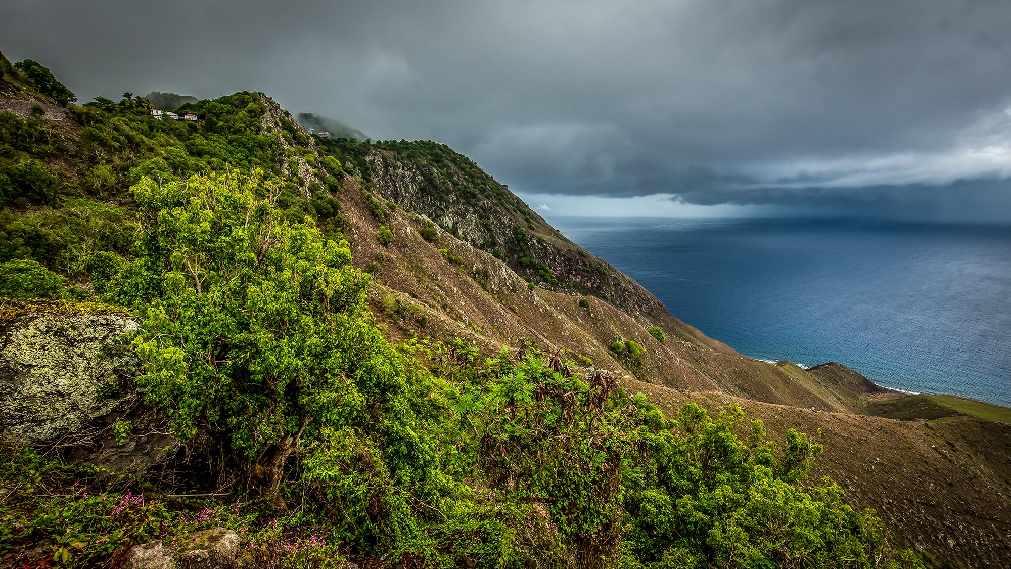
From views to effort, Dancing Place is among Saba's most serene places for a stroll. Image by Kai Wulf.
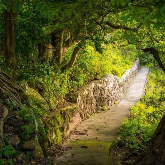
Old rock walls combined with newer paving make this a welcoming walk for virtually anyone. Image by Kai Wulf.

Dancing Place offers walkers a comfortable mix of shade and sun. Image by Kai Wulf.
Ask a Local
Question: How did people build The Road across Saba’s steep slopes?
Answer: It was a lot of hard work. Everything was done by wheelbarrows and sledgehammers and dynamite. Real hard work. Dutch engineers came here and they said that it was impossible for a road through these hills, but we did it. It took 21 years from the harbor to the airport by using manpower.
James “Peddy” Johnson
Taxi driver, former construction worker, knows The Road top to bottom

Related content

Harry L. Johnson Museum
Organization

Saba Trail Shop
Organization